Gumstand Gap Trail....
 Mountain biking in western North Carolina is one of if not the most popular sport. It seems that almost every vehicle has a bike rack hanging on it. There are both good and bad things that do come from this. The good is that there are several groups that have organized to help maintain the many trails that criss cross the Pisgah Forest area. The bad part is trail use can be pretty heavy on good weekends and getting away from the crowd can be more of a challenge than the most difficult uphill trail that Pisgah has to offer. We all go to the forest for many reasons, some go for the adventure, some go for the scenery and some go for peace and quite. I go for all the above as I am sure many others do as well. Whatever the reason, it is important to get out there and experience nature on it's terms.
This weekend I loaded up the bike and made a b-line down to Pisgah Forest North Carolina with no particular trail in mind. Once I got there I pulled over to get out the map and make a decision as to which trail to tackle. Gumstand Gap jumped out off of the page and seemed to be just as good a choice as any. Nearly ten miles of riding in 90 degree heat with nhumidity off of the charts was probably more than enough to bring me to my knees. Gumstand is a loop trail with several waterfall views and creek crossings. It was at one of these creek crossings that I did my impression of a forward flip over the handle bars and ended up lying on my back with the bike on top of me looking straight up at the bluest sky I had seen in a long while. Nothing really hurt other than my pride.
I did begin to question the guide book as to the location of the trail that leads back down the mountain to the Cove Creek Group Camp. The guide book called this the Caney Bottom Extension and was supposed to be marked with a sign. Fact of the matter is....no sign and no trail named Caney Bottom Extension. After riding all the way to the end of a dead end road was the point that caused me to question the books dependability. So I turn around and head back
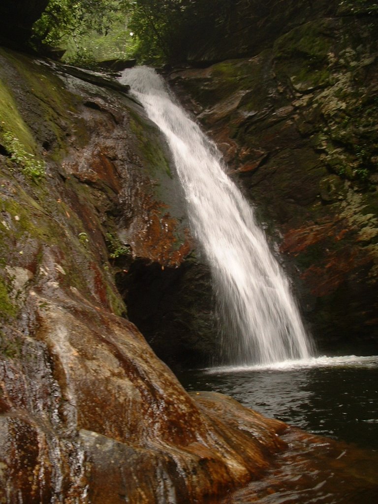
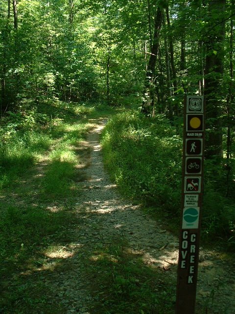
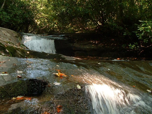 from whence I came. I decide to stop at the head of a trail marked with a sign that designated it as the Cove Creek Trail. I compare the book to the map and see that this trail will get me back to where I need to be, so I head down the mountain feeling pretty good about my decision. Sure enough I do arrive at the Cove Creek Group Camp and back towards the Fish Hatchery parking lot. On my way out of Cove Creek I spot a nice little waterfall to stop and wash off all the dirt that had attached itself to me when I hit the trail in the literal sense. Cold......but just what I needed after a hot humid day of riding.
posted by Mark at 11:18 PM
0 comments
![]()